Guanacaste
The Pacific northwest: dry forest, howler monkeys, and long beaches such as Tamarindo, Nosara, and the Papagayo gulf.
Good for sun, swimming, and surf
A guide for a first visit
Pura vida is the local shorthand for hello, thanks, and don’t hurry. The country behind it is compact: coffee hills, a perfect cone of a volcano, dry forest, and rainforest that runs into the Pacific and the Caribbean. This page is what is worth your time.
At a glance
Regions
You do not need all of these in one trip. Pick a coast, a volcano, and one forest, and the week will already feel full.
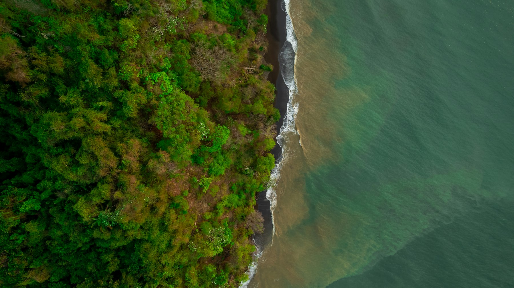
The Pacific northwest: dry forest, howler monkeys, and long beaches such as Tamarindo, Nosara, and the Papagayo gulf.
Good for sun, swimming, and surf
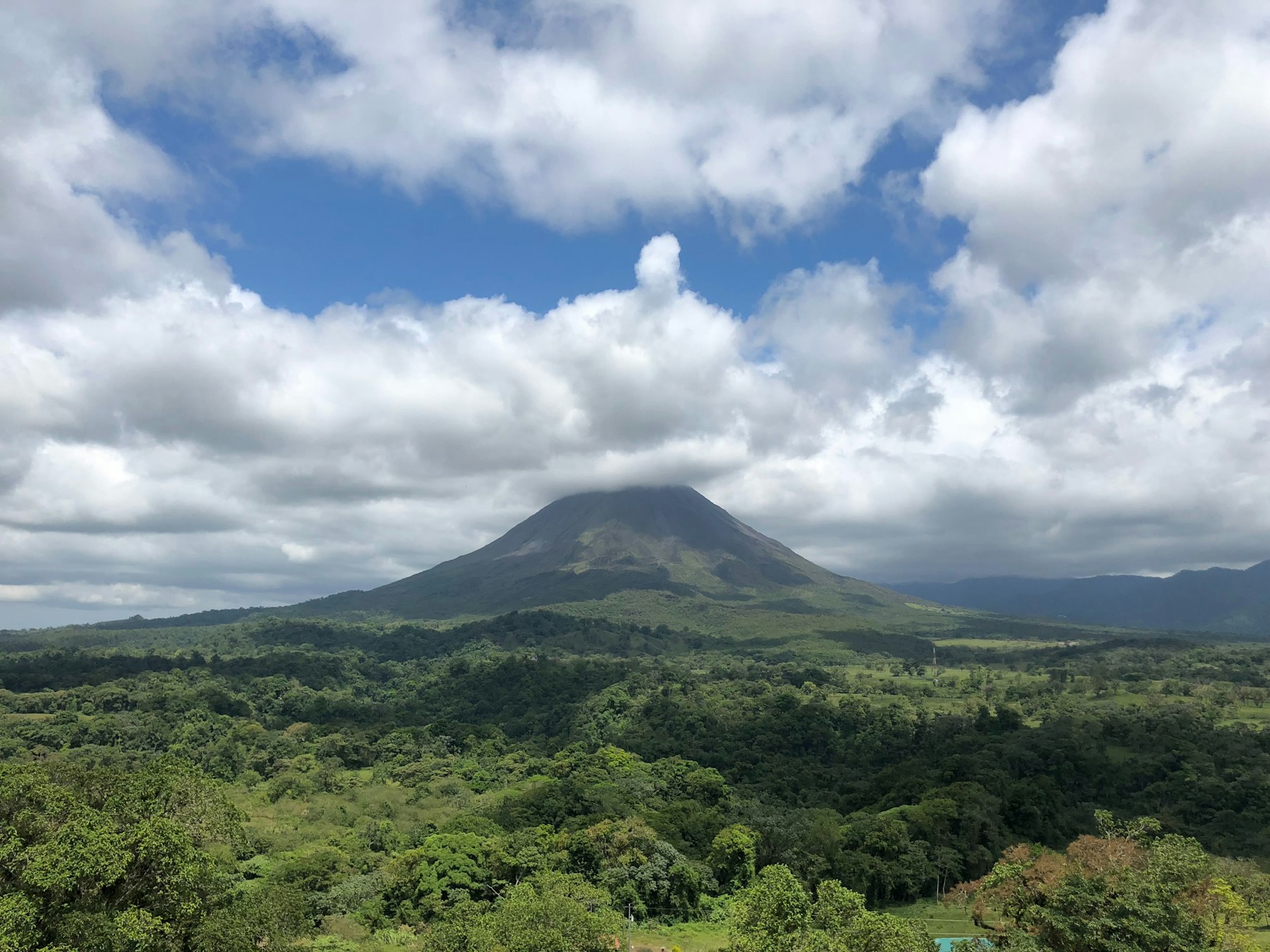
The cone of Arenal, hot springs, hanging bridges, and the La Fortuna waterfall. The most straightforward volcano stop in the country.
Good for a first volcano and an easy base
Cloud forest on the continental divide. Cooler, misty, and full of birds. A quetzal is possible with a guide and some luck.
Good for forest, canopy walks, and cooler nights
San José and the coffee highlands. Cooler evenings, coffee tours, and day trips up to the craters of Poás and Irazú.
Good for arrival, departure, and coffee
Manuel Antonio and Quepos. A national park where monkeys, sloths, and a swimable beach sit a short walk apart.
Good for wildlife and beach in one stop
Puerto Viejo, Cahuita, and the Tortuguero canals. Afro-Caribbean food, a slower pace, and rain on its own schedule. Tortuguero is reached by boat.
Good for a different coast and canal wildlife
Corcovado and primary forest at the end of the road. Remote, richer in wildlife, and better as the focus of a trip than a quick add-on.
Good for a wilder second visit, or a longer trip
Map
The same stops as the guide, in the country. Tap a pin for details and directions. Each pin’s icon and color show the kind of place, and the filter on the map lets you show only the kinds you want.
The map needs JavaScript and a connection to load.
Weather
The two coasts run on different calendars. On the Pacific side and in the Central Valley, the dry season runs from December to April and the rains come from May to November, heaviest in September and October. The Caribbean side gets rain all year, with drier spells around February and March and again in September and October, just when the Pacific is wettest. Tap a pin on the map for the current weather there.
| Region | Jan | Feb | Mar | Apr | May | Jun | Jul | Aug | Sep | Oct | Nov | Dec |
|---|---|---|---|---|---|---|---|---|---|---|---|---|
| Pacific and Central ValleyGuanacaste, Manuel Antonio, Osa, San José | Dry | Dry | Dry | Dry | Rainy | Rainy | Rainy | Rainy | Wettest | Wettest | Rainy | Dry |
| CaribbeanPuerto Viejo, Cahuita, Tortuguero | Rainy | Drier | Drier | Rainy | Rainy | Rainy | Rainy | Rainy | Drier | Drier | Rainy | Rainy |
Sources: Instituto Meteorológico Nacional, climate regions of Costa Rica; daily precipitation at Limón. Current conditions from Open-Meteo.
What to do
Names and what to expect. Hours, fees, and trail conditions change with the season, so confirm them before you go.
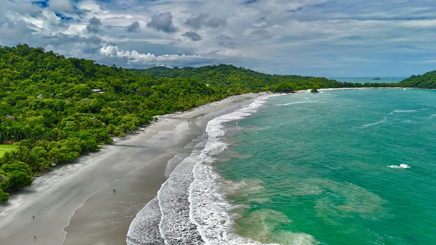
The sun is strong, and Pacific beaches can have rip currents. Swim where other people are, and ask locally that morning.
A guide is worth it. Dawn is when animals are moving.
Before you go
Shared shuttles are the straightforward way between the main tourist towns. Domestic flights help if you add Liberia, the Caribbean, or the Osa. A rental car is reasonable if you are comfortable on winding mountain roads in rain.
Keep transfer days free of big hikes. A night drive on a mountain road is slow, and the useful scenery is gone anyway.
Cards work in towns. Smaller sodas (neighborhood restaurants), some park snacks, and tips are easier with cash. ATMs are in the towns on this route.
Ask which currency a price is in before you agree. Dollars and colones both show up on menus.
Evenings in Monteverde and the Central Valley are cool. The coast will not need the layer the cloud forest does.
Keep an eye on bags in San José and on busy beaches. Leave passports and electronics in the hotel, not in a parked car. Swim at spots people are already using, and treat rip currents as the thing to ask about.
In green season, heavy rain can slow or close mountain roads, so an unhurried transfer day is part of the plan. Tap water is treated in most towns; ask at a small lodge if you are unsure.